STORE
Coming Soon!
In 1985, "The Madison Heritage Trail: An Intimate History of a Community in Transition" by Dr. Frank Esposito was published. At the time, it was the most complete and thorough chronological history of Madison ever written. Now, nearly 40 years later, it is about to have a major update! The Madison Historical Society and the Madison Public Library Trustees, along with principal author Dr. Esposito, are in the process of editing portions of the original material and comprehensively updating our history to the present. We eagerly anticipate publication of “Portrait of the Rose City: The History of Madison, NJ” in 2024. We will provide information on buying the book when it becomes available.

Maps for Sale
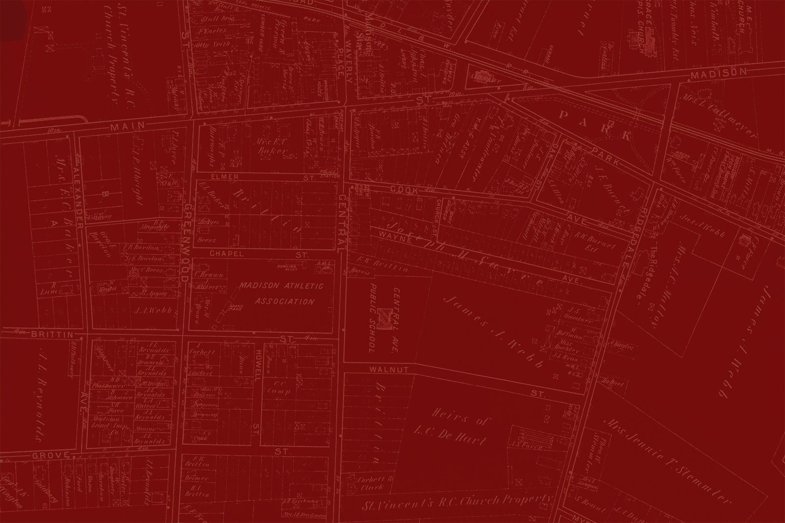
Maps are reproductions of individual plates from the 1910 Atlas of Morris County by A. H. Mueller. Individual properties are labeled with the name of the circa 1910 owner. All are approximately 22" high by 31" wide in size and are printed on archival paper, suitable for framing. See maps below for a further description. Maps can be purchased for $125, and you will receive a 10% discount if you are a MHS member. If you are interested in purchasing a map please contact us.
-

Madison Map Plate 3
Map displays the eastern end of Madison to Greenwood and Alexander Avenues on the north side of Main Street and to the Hillside Cemetery on the south side.
-

Madison Map Plate 4
Map details central Madison from Prospect Street and Alexander Avenue on the east to properties bordering Ridgedale Avenue, Park Avenue and Green Village Road on the west and from Fairview Avenue on the north to Hillside Avenue on the south.
-

Madison Map Plate 5
Map displays the western end of Madison as well as central Madison south of Hillside Avenue.